Blowdown Pass FSR is just over 50km northeast of Pemberton BC. It’s a track I’ve saved on my map since I first started exploring the BC mountains in a Four Wheel Drive.
I had no idea what the trail condition would be. In BC, details on 4WD tracks are always in the hush. Especially tracks near the major cities. What I did know, was that the friend who first told me about Blowdown Pass is a person who usually drives conservatively. I also know that one of my co-workers came up here two weeks prior.
My new work schedule gives me a Friday off every other week. So on this summer weekend, I headed toward Pemberton. Attempting to check this track off my list.
You can easily find a map on Blowdown Pass on Google. In fact, there are several hiking tracks well documented on hiking sites. But if you’re keen to see my GPS tracking, along with all the wrong turns and waypoint photos, head over to my Patreon where I share every single track I’ve done.
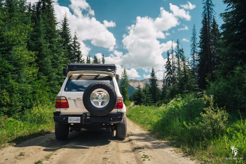
Once turning off from Duffy Lake Rd, Blowdown Pass FSR starts with gravel right from kilometer 0.
I say “kilometer 0” here but there’s really no signage for track distance. Usually, on forest roads, there will be signs at the trailhead indicating the radio channel for communicating location. I wish there was one here for reasons that’ll become clear soon.
The track starts as a typical forest road. Slightly narrower. But enough to cross with oncoming traffic.
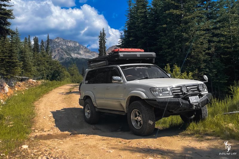
The trail continued until I reached a point with a turn-off. Two vehicles were parked in front of me in this picture. One of them was a Mazda 3. I was decently surprised. So far the trail had been drama-free. However, some of the cross ditches were deep and could definitely put off most sedans.
The turn-off looked like a hiking track. So I continued driving forward.
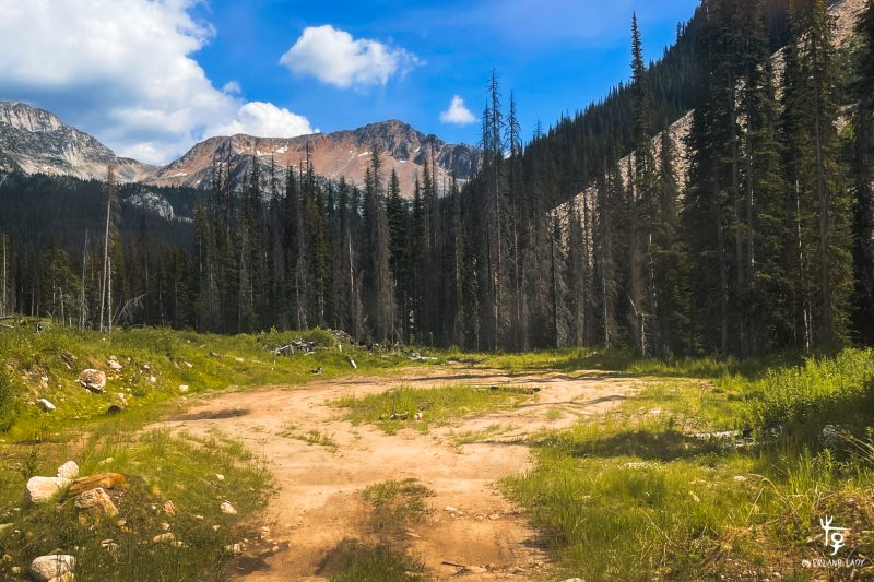
About 300 meters later, I found myself a culdesac – It was the wrong way.
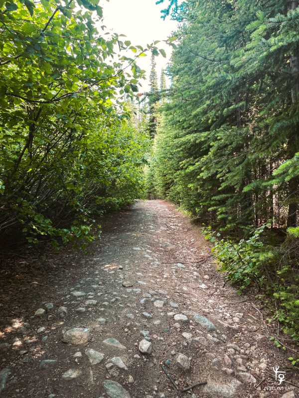
This left me with only one option – the “hiking track” must be the way up. As a cautious driver, I hiked up the road first to double-check if it was really drivable. The deeper I walked into the track, the more doubt I had. No way is this a 4WD trail. Then I remembered my co-worker who just went up two weeks ago was on a motorbike…
This track looks more like a dirtbike track, perhaps an ATV track at most.
I sent a few satellite messages to my co-worker, confirming my location. He reassured me that the trail opens up eventually and that I was on the right track.
So with heavy doubt, I turned my steering wheel towards the narrow entrace.
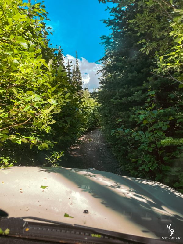
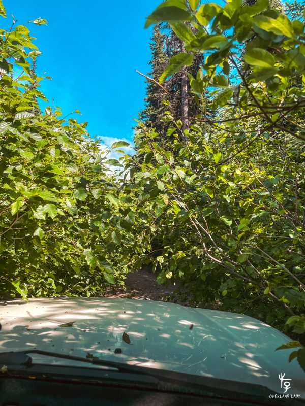
In some spots, the tree from each side reaches in so much that they touch. The more I went, the more panic I felt. Was I on a track that’s supposed to be driven in a 4WD? If it’s not, then why is this track rated as a popular 4WD route? What if someone is driving down this exact trail right now? There’s no way to know where they are until they’re nose to nose with you – there’s no radio station for communication.
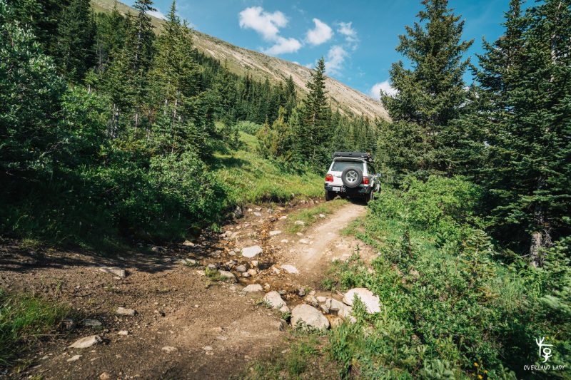
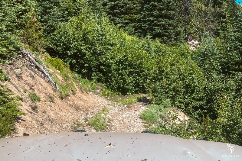
Other than some off-camber and cross-ditches along the way, the trail stayed in “tree’s car wash” for agonizingly long. You don’t see much scenery until you reach the top of the mountain. This is one of those tracks where you hunker down miles under the shades just for the one last sight at the top.
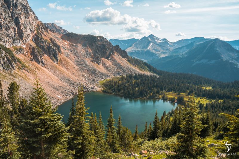
At the lake level, there’s a bit of an opening where the trail splits into 2. Do not take the lower split – I learned it the hard way. Although this seems to be the track that could potentially get you closer to the lake, it eventually narrows down to a single hiking track. I did the hardest hundred-point-turn on this trail to backtrack. You’ll see my mistake on the GaiaGPS tracking from my Patreon.
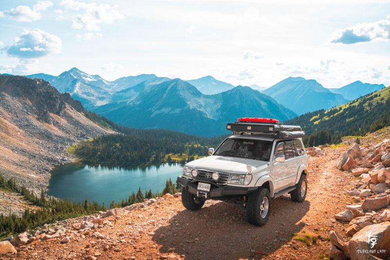
This is perhaps the most well-known angle of this trail. Looking down at the Blowdown Lake on the last and only stretch of the open trail.
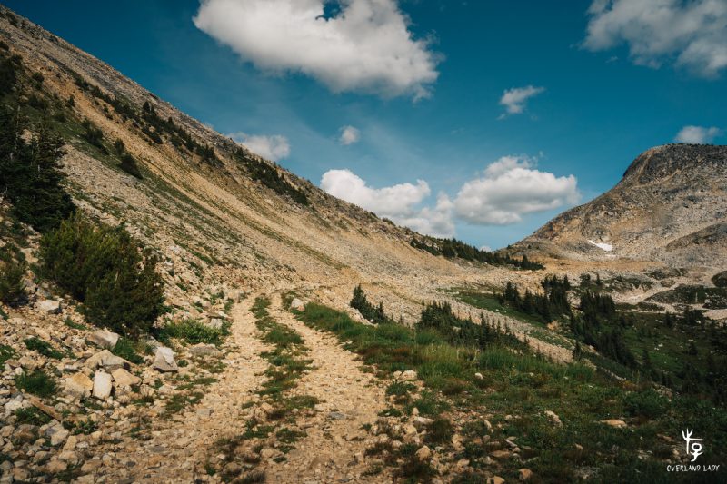
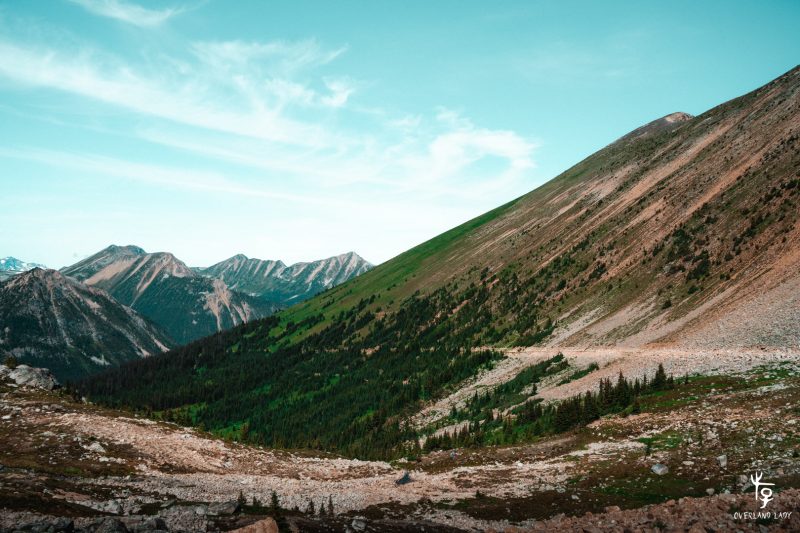
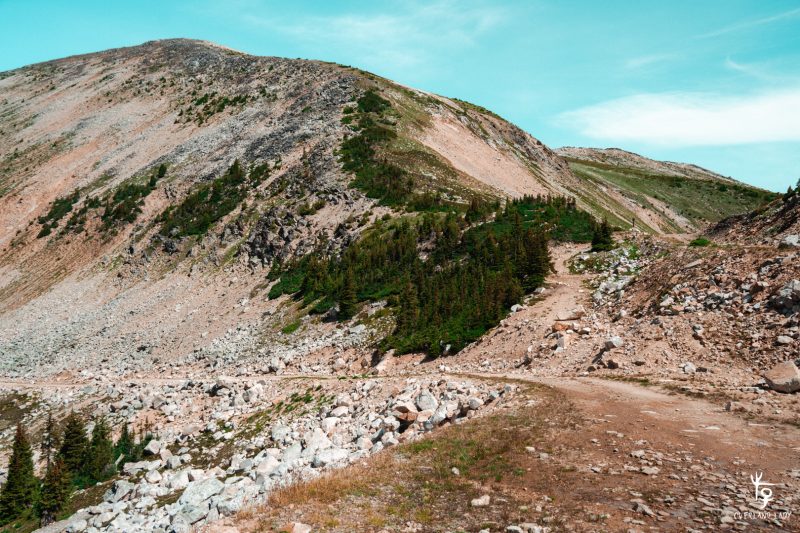
The last stretch of the forest road has no tree covering as the soil is too rocky. The only section along this whole drive where you can get some view in your eyes.
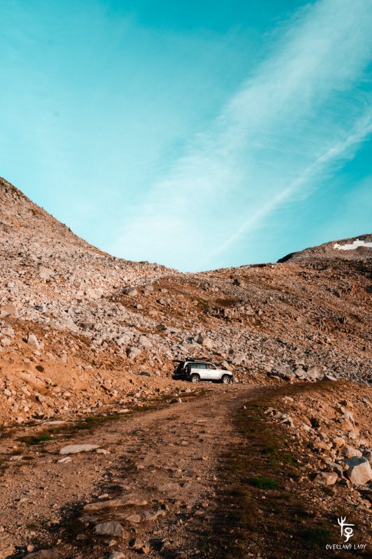
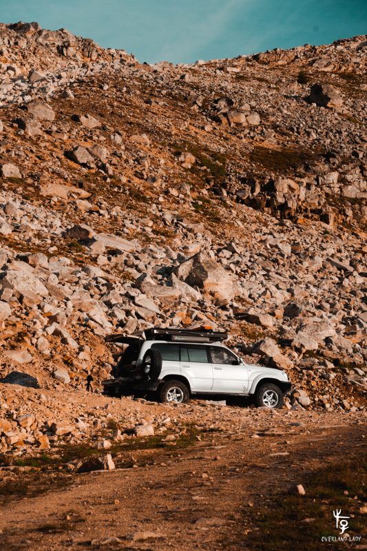
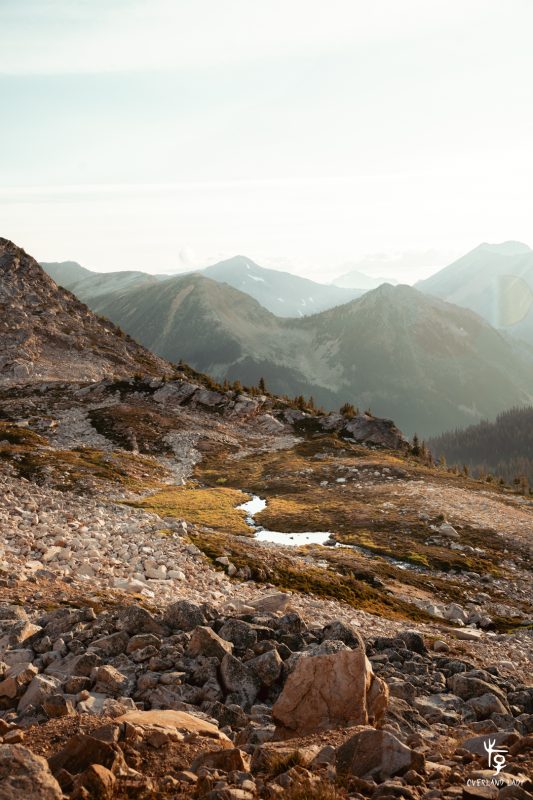
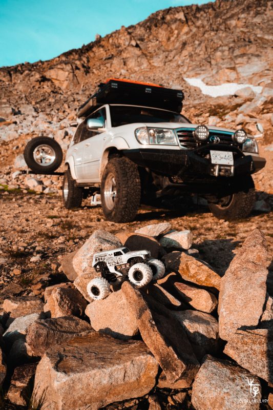
I found an opening big enough to set up camp. After you turn around from the hairpin, a pile of rock seems to be purposefully piled to prevent vehicle passage. There is a bypass right beside the rocks and I witnessed countless vehicles crossing that section the next day. Once past the rocks, the trail jumps over the ridge and soon turns into a single hiking trail. So there’s not much to drive after this point. My video includes a clip of flying over the ridge so you can get an idea of what it looks like over the ridge.
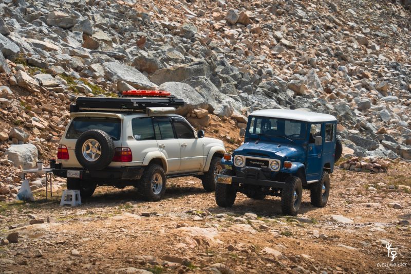
I came up here to stay for Friday night. I was the only vehicle there until Saturday morning. One after another, trucks start to roll up. It’s both reassuring and frightening:
Their appearance proves that this is the right track for a 4WD. That I was not disturbing a trail meant for hiking. Although many hikers and bikers also use the trail, and they’re probably more suitable for the narrow car wash section.
On the flip side, there’s a high chance of encountering upcoming traffic if I decide to get off the mountain.
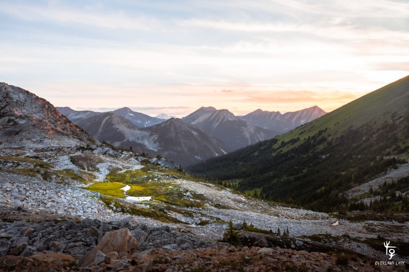
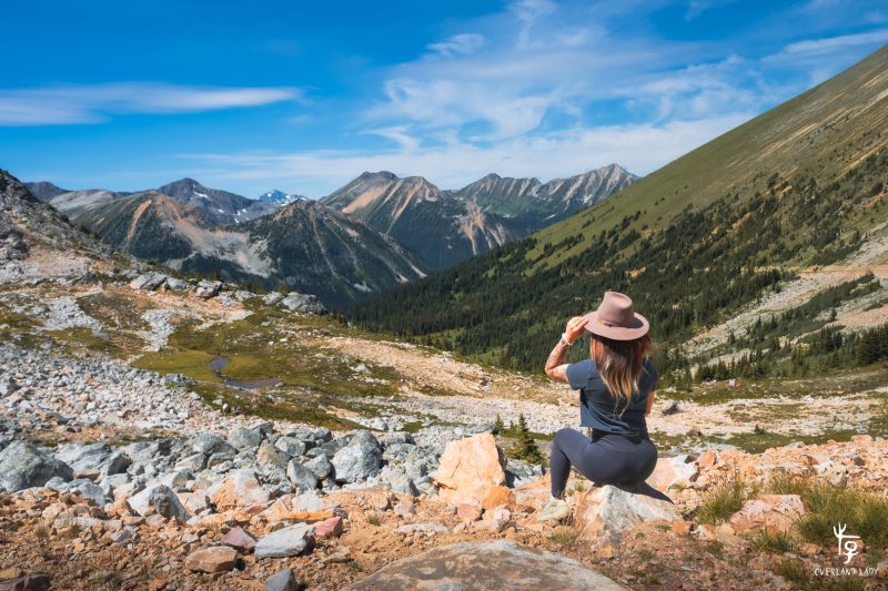
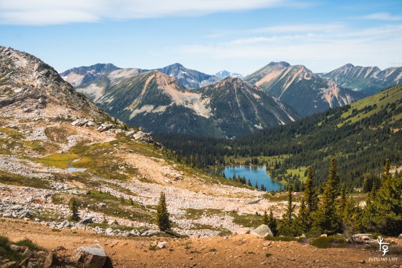
View from my campsite and over the rocks.
As I mentioned in the video, I’ve seen way more magnificent sunsets before without the never-ending carwash and off-camber scare. Is it worth it? That’s a question I’m still pondering on.
