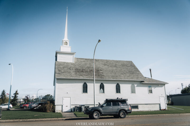
Dawson Creek marks the beginning of our Alaska Highway journey ahead. If you are so in a rush, driving 11 hours straight will get you to the first city of Yukon – Watson Lake. But I like to take it slow and enjoy what northern BC has to offer in the autumn.
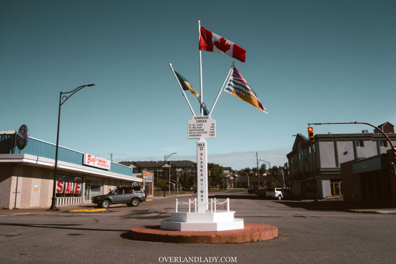
Before continuing the soul-cleansing trip up north, I took a slow strode through the Dawson Creek city center to find the iconic Mile 0 Post.
The Mile 0 Post is one of the most recognized and photographed icons in the BC section of the Alaska Highway.
Dawson Creek town center on a weekend morning during the off tourist season, is, so quiet. None of the businesses was open, I barely saw any car at this major intersection. The only section with cars parked up front was a gym. NO surprise.
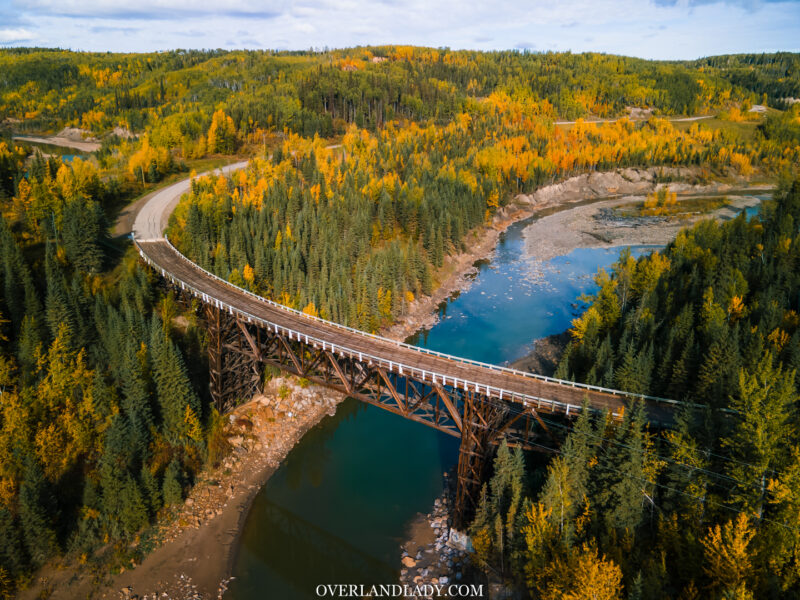
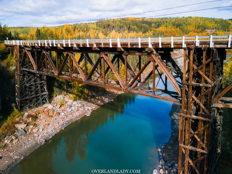
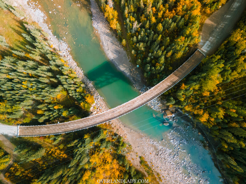
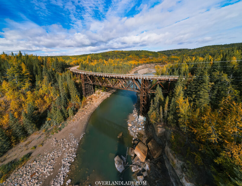
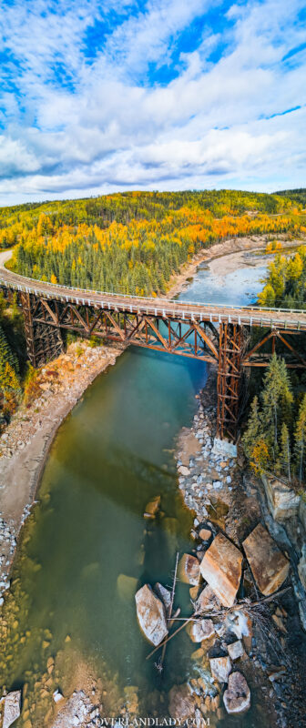
At Mile 21 on the Alaska Highway, the Kiskatinaw bridge is the first of its kind in Canada, the longest curved wooden suspension bridge in North America.
This bridge took just as long to construct as the entire Alaska Highway and is the only remaining section of the original Alaska highway that is load-bearing and could be driven across until the closure this summer – a flood in June caused the provincial park and the bridge to be closed from public access.
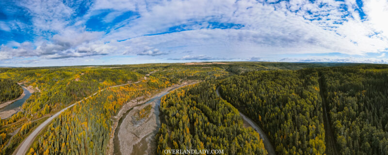
This wonderful piece of history offers a gorgeous view of the river valley. There’s a provincial park underneath that offers camping. Unfortunately, it’s also closed for now.
Parallel to it is the new bridge built in 1978 when the highway was straightened. And that’s where we’re going to return to and bypass this wooden bridge.
In one of my previous episodes, I mentioned how I find cool spots in a new area I knew nothing about. I’m following a similar method now, relying mostly on guidebooks.
There are tons of Alaska Highway guidebooks out there. Many include in-depth listings of surrounding side trails and attractions.
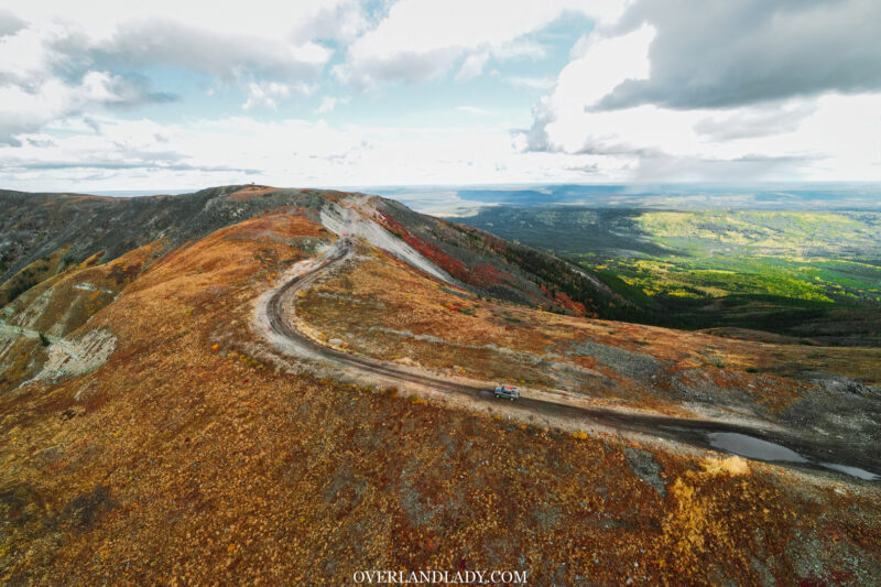
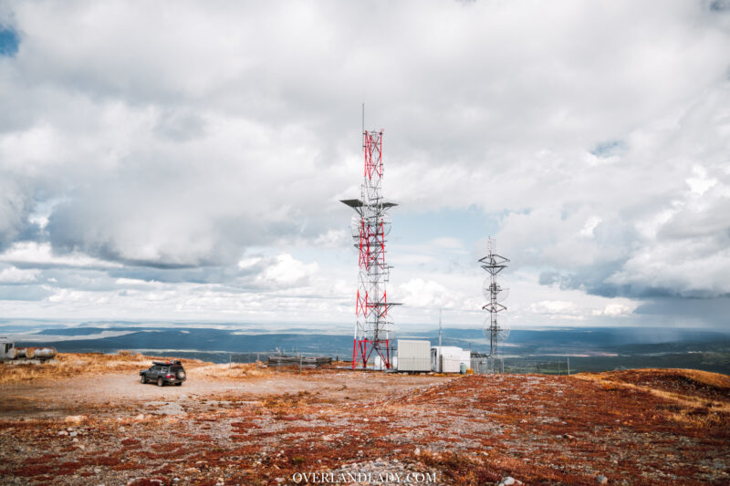
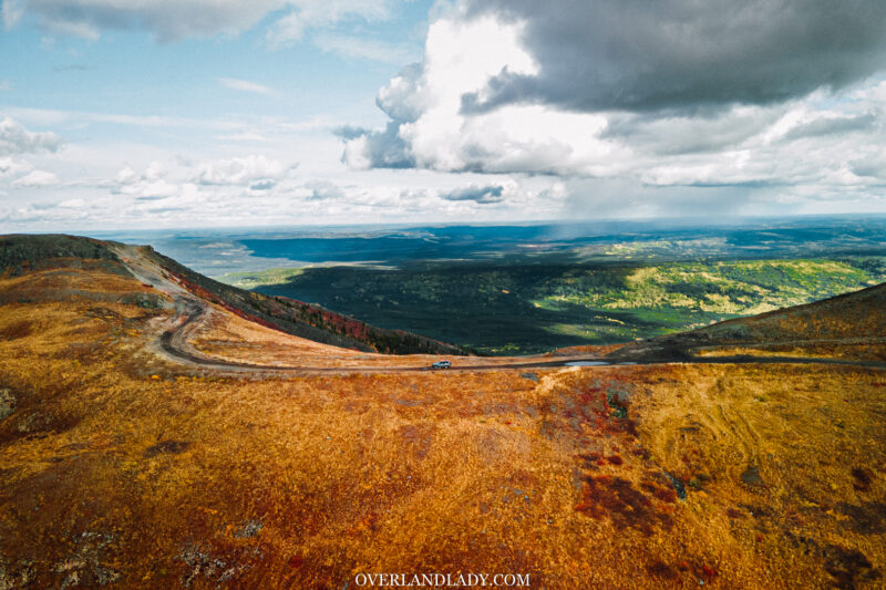
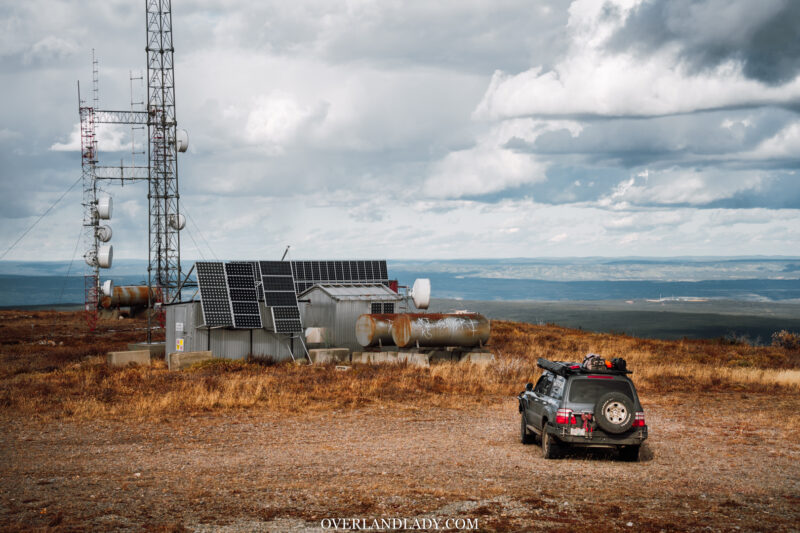
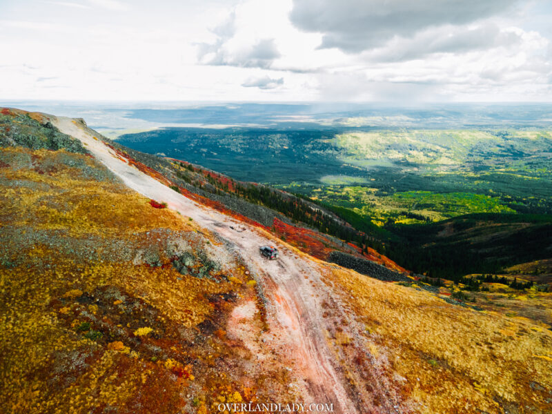
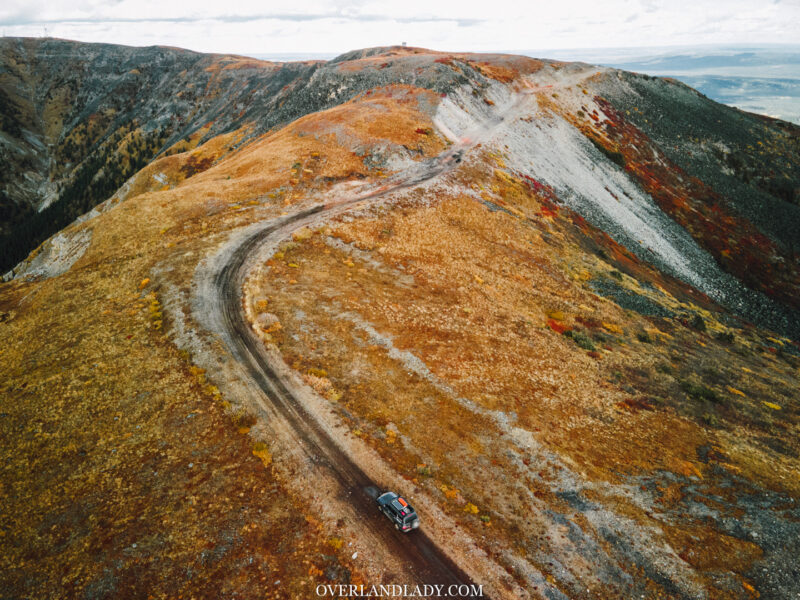
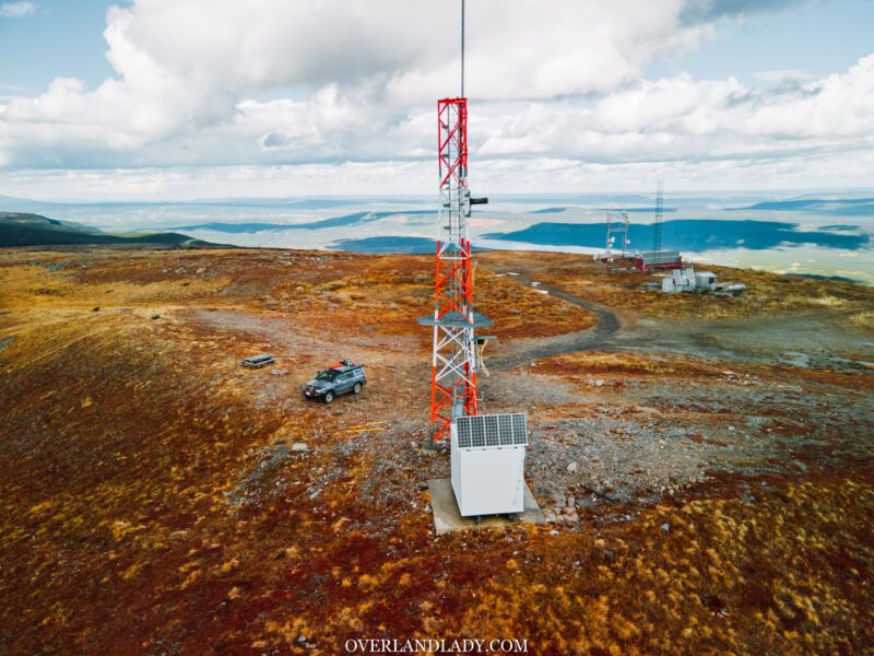
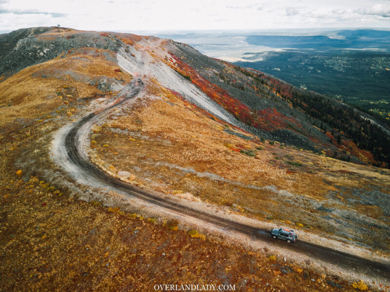
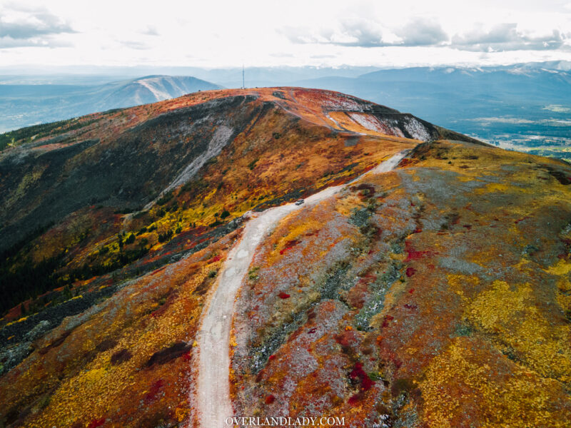
I’m heading to a mountain top fire lookout. You can find it from guidebooks or if you got the Top Notch Navigator GPS layer, it’s also shown on there. I won’t spoil the fun for you to find this treasure.
But if you really want to get my GPS tracking, join my Patreon and you’ll get all my recordings, waypoints, and a bunch of other perks.
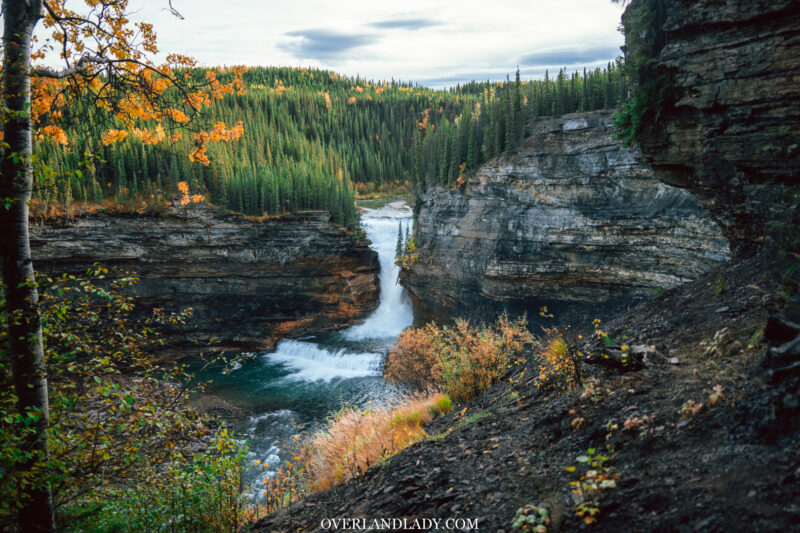
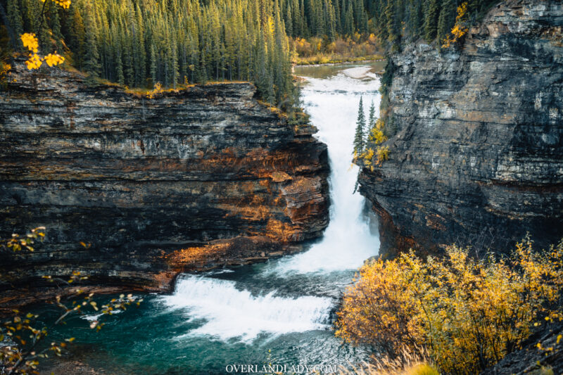
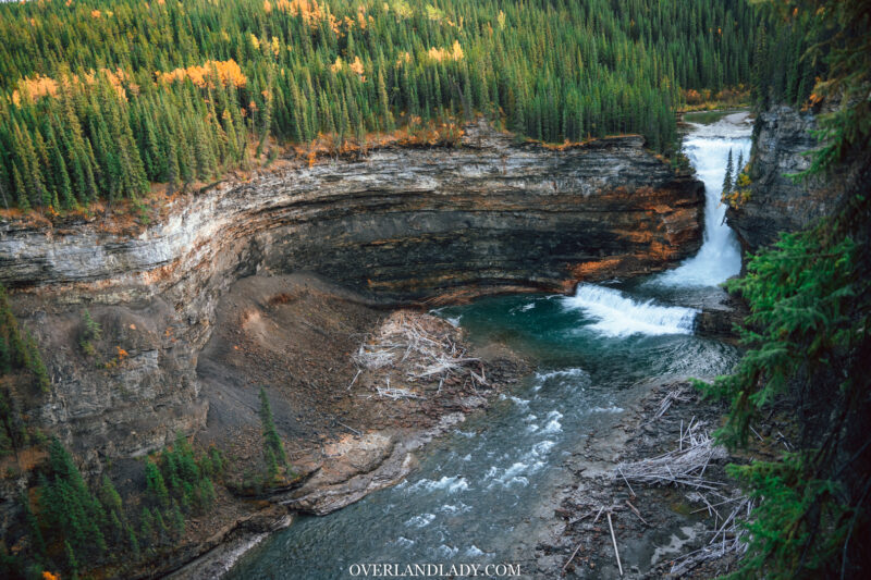
Out from Pink Mountain, went up the highway another 30km to catch a waterfall.
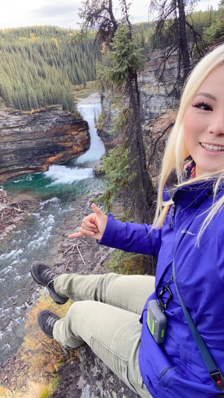
I end up sitting here at the cliff for quite a long time. Partially to enjoy the scenery and listen to the waterfall, rest from the short hike.
But a big reason was,,, I was freaking out. Basically, my body froze.
I’m not particularly afraid of heights but sitting right at the edge to the bottom of a roaring waterfall. It’s going to raise some heart rate for sure.
When I finally got out, my body was filled with adrenaline. I felt wide awake and could go on to drive another 6 hours.
I briefly entertained the idea of continuing driving up to Liard Hot Springs. But eventually logic won. I settled for camp.
As I was making dinner, looking up, I saw….. a heart-shaped cloud visiting my sunset!
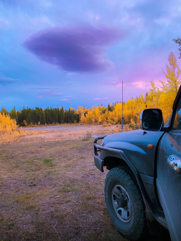
Hey, I see you! I miss you too. And I love you. Have a good night.
Hope to see you soon.

