In 1945, Canso Bomber 11007 carried 900 pounds of explosives crashed into the rainforest near Tofino, B.C. Surprisingly, the bomb did not explode and all 12 passengers survived. The bomb has been removed but the Canso Bomber itself remains in the same crash site, reminding us of the days during World War II.
We spent the last few days of our Vancouver Island trip to Tofino. Other than surfing and joining the line up at Tacofino, there really wasn’t much on my checklist. It has been sunny at sunburn temperatures throughout our trip. However as we woke up this morning at our campsite at Surt Junction, it rained. The temperature dropped to “jacket degree” so my girl and I decided to postponed surfing for better weather.
This was when Pilot recommended Canso Bomber Crash Site. It’s about a 30-minute hike starting from an unmarked trailhead along Pacific Rim Highway.
Direction to Canso Bomber Crash Site
Turn in Radar Hill Rd and park your vehicle at the parking lot on your right. There’s no parking along Pacific Rim Hwy so you will have to walk along the highway for a while to reach trailhead.
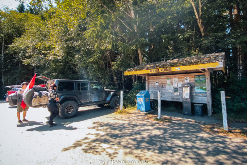
Pilot told us it was going to be muddy in the mountain and could be cold/chill since the trail is mainly shaded under tall trees. Me as an over-preparer, wore rainboots and jeans… Really bad idea! Rain stopped right after we were parked and tempreture started to rise. It took me no time to warm up and had to take off my long sleeve.
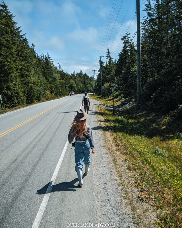
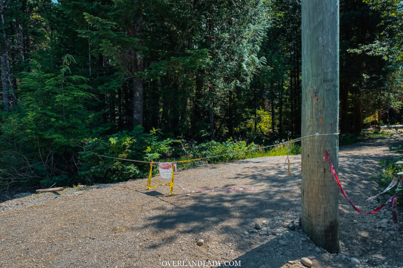
Around 1km later you will see a decent sized trail opening with a pole. This is your Canso Bomber Crash Site trailhead. If you are following my GPS tracking above you can see I actually went over a bit and came back. Simply becasue I saw the no entry sign. The trail is still open. Sign was to stop vehicle from driving in.
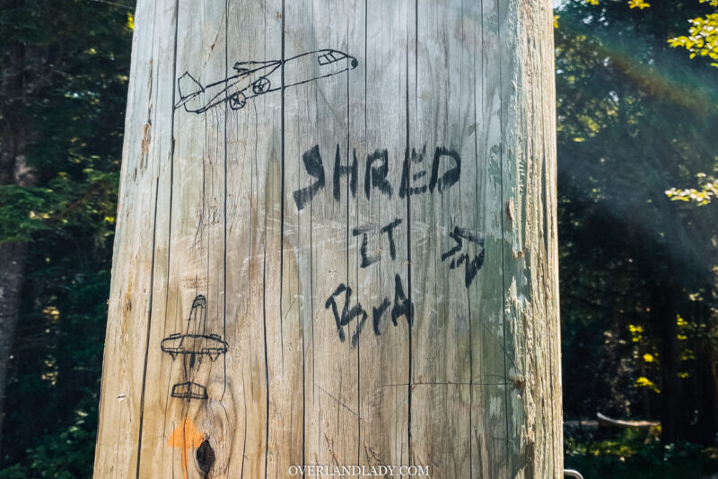
Notice the pole has a drawing of a plane. This indicates you are on the right path.
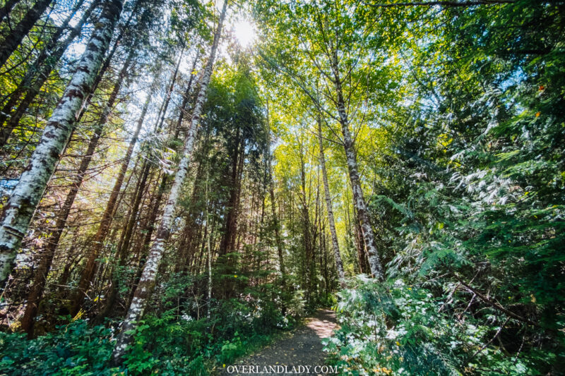
Walk along the trail. Pilot was right in one part – the trail is mainly covered by tree. But it can still get hot since we are pretty low in elevation. Waterproof hiking shoes would do. Gumboots are totally unnecessary for summer season. Do not dress like I did…..
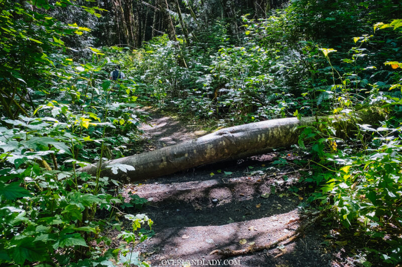
As you walk deeper into the mountain, you’ll see some tree falls making the track a bit more than an easy walk.
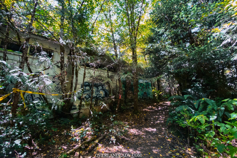
Around 600 m into the trail you will climb up to a building with graffiti.
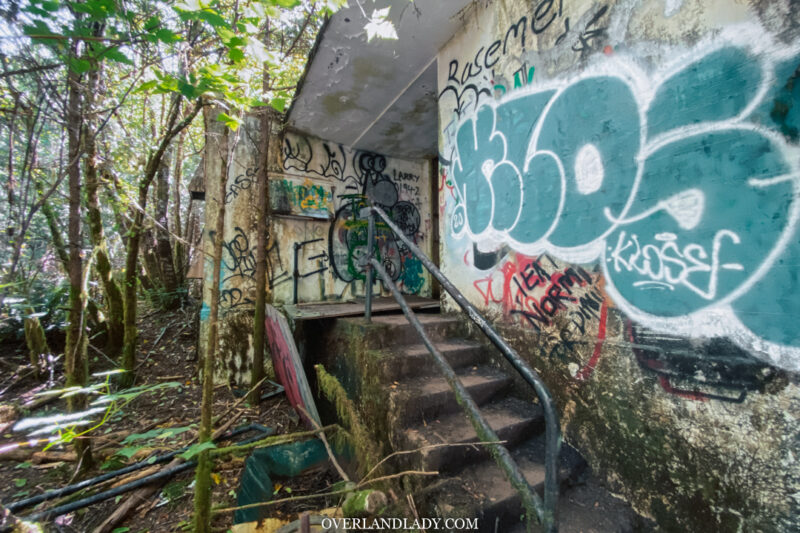
Walk up those stairs and take a left to get out the other side.
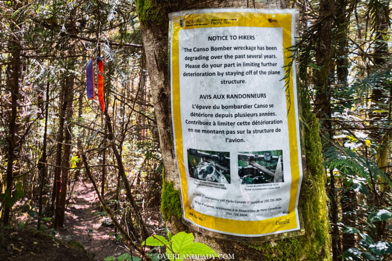
Signage of the deteriorating plane. The trail is marked with colourful tapes. Pretty straight forward to follow through.
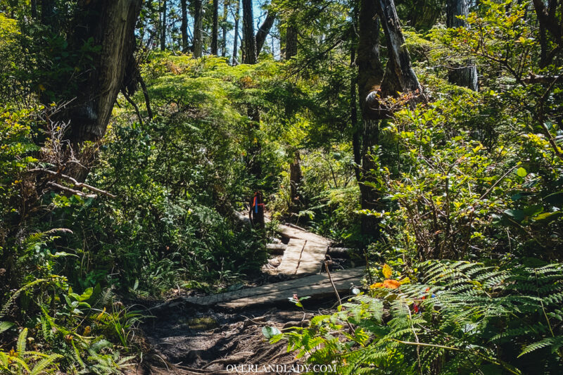
Shortly after the building, you’ll have some man-made walking platform to guild you.
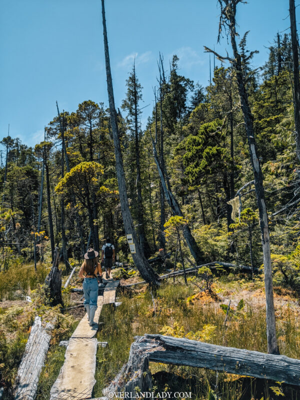
Trail start to open up as you get closer to Canso Bomber Crash Site. This is probably the only spot you can get some constant sunlight without tree coverage. And yes I can no longer keep that long sleeve on me…..
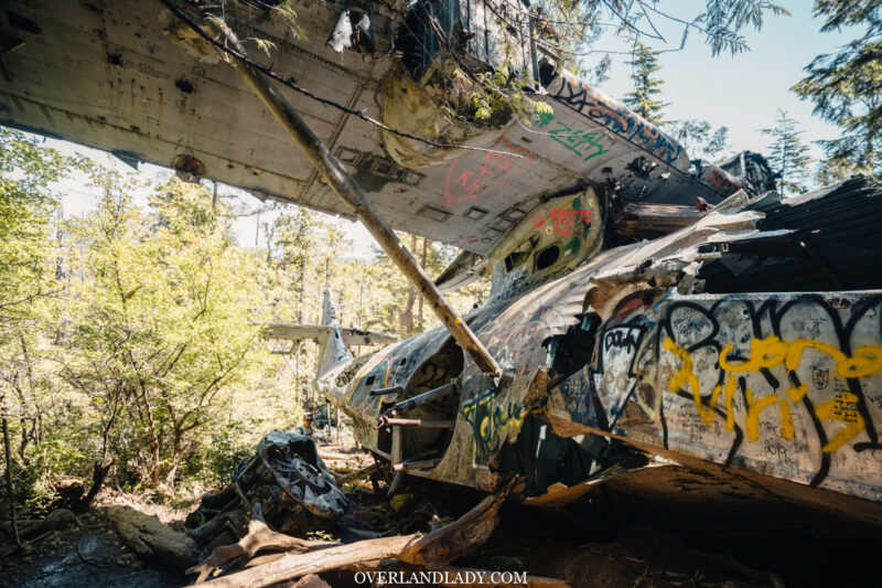
Somewhere along the way when trail starts to become steep and full of roots, before you know it, the remain of the plane is on your left. People have been painting graffiti over time but you can still see the shape of this World War II machine.
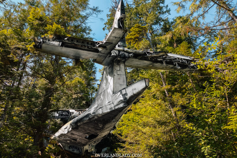
There’s a trail to walk down to the tail of the plane.
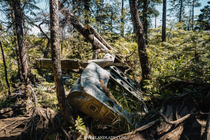
Parts of the plane scattered around the area.
